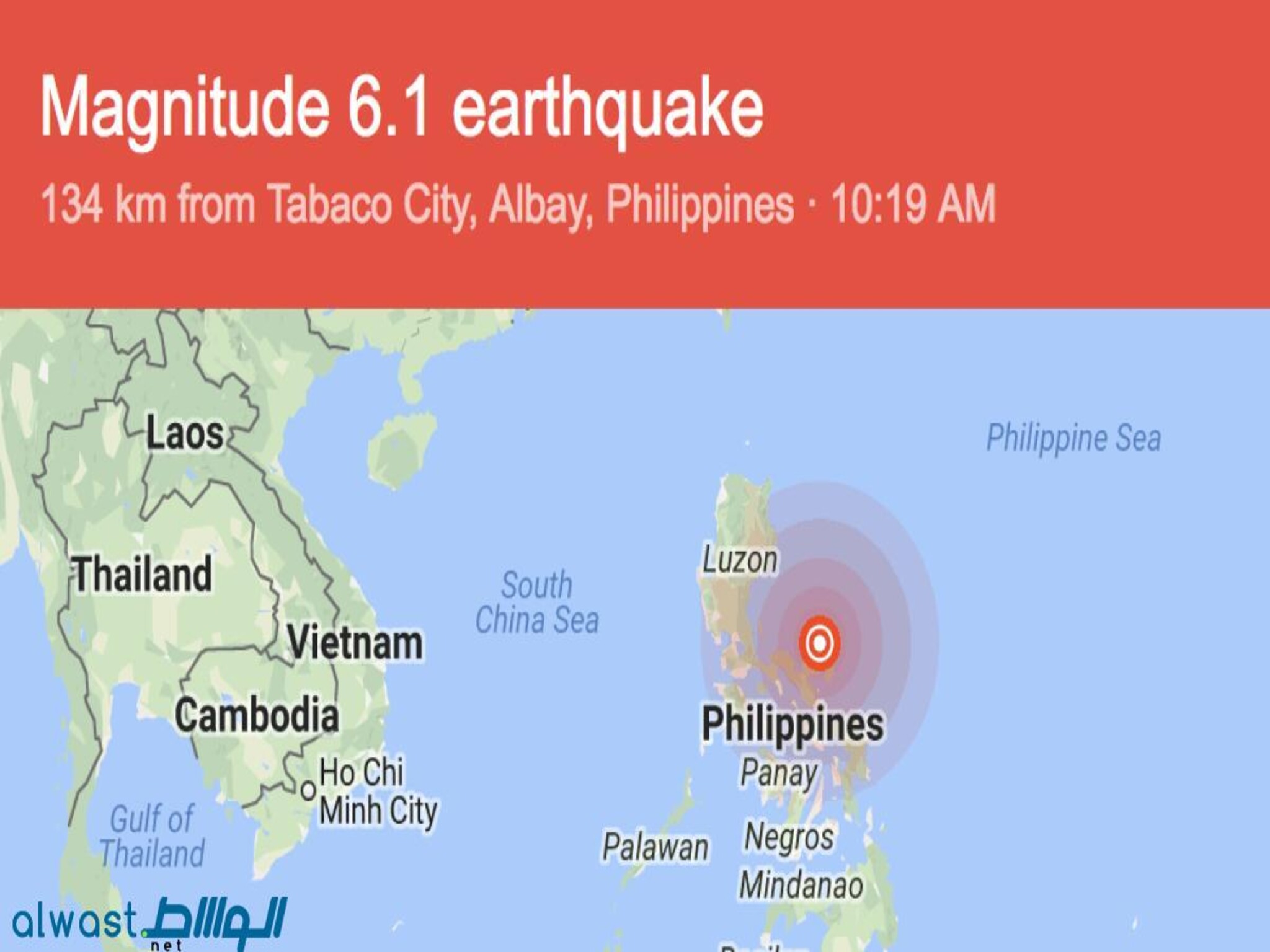
An earthquake in the eastern Philippine Sea was detected on Monday by the National Centre of Meteorology (NCM) in the UAE. Their records show that the quake struck at 3:19 PM UAE time and had a magnitude of 6.1.
The 286.1 kilometer depth was the location of its detection. When the Earth's crust experiences a rapid release of energy, a natural phenomenon known as an earthquake occurs. Factors including depth, location, and local infrastructure determine the degree of damage caused by earthquakes, which can range from little tremors to large seismic catastrophes.
The eastern Philippine Sea is a seismically active region known for its frequent tectonic activity. The movement of tectonic plates beneath the Earth's surface can lead to the formation of faults, where stress accumulates until it is released in the form of an earthquake.
The depth of the earthquake, measured at 286.1 kilometers, indicates that it originated deep within the Earth's crust. Deep-focus earthquakes like this one typically occur at convergent plate boundaries, where one tectonic plate is forced beneath another in a process known as subduction.
The NCM's monitoring and reporting of seismic activity play a crucial role in providing timely information to authorities and the public. By tracking earthquakes and assessing their potential impact, organizations like the NCM help to enhance preparedness and response efforts in regions prone to seismic events.
While earthquakes are a natural occurrence, they can pose significant risks to human safety and infrastructure. Building codes and construction standards are designed to mitigate these risks by ensuring that structures are built to withstand seismic forces.
The earthquake in the eastern Philippine Sea serves as a reminder of the dynamic and interconnected nature of our planet's geology. Through ongoing monitoring and research, scientists and authorities work to better understand and prepare for seismic events, ultimately contributing to the safety and resilience of communities worldwide.
